
Quick answer
On the best-marked routes in Central Europe — the Danube Cycle Path in Austria, the Elbe Cycle Route in Germany, and most EuroVelo routes — following the route signs alone is sufficient for most days. For tricky junctions, urban sections, or less-marked stretches (parts of the Prague–Vienna Greenway, rural Czech Republic), a GPX file loaded into a phone app or Garmin adds valuable backup. Most tour operators provide GPX files; most cyclists use their phone with Komoot or Mapy.cz.
Who is this for
Anyone preparing for a self-guided bike tour in Central Europe and wondering what navigation tools to bring, whether to invest in a cycling GPS, and how reliable the route signage actually is.
Option 1: Following the route signs
How it works
Central European cycling routes are marked with consistent signage — numbered route markers, directional arrows, and in some countries colour-coded signs. You simply follow the markers, no phone or GPS required. The route card provided by your tour operator gives turn-by-turn directions and distances as a backup at confusing junctions.
Quality by country and route
| Route | Signage quality | Comments |
|---|---|---|
| Danube Cycle Path (Austria) | Excellent ⭐⭐⭐⭐⭐ | Consistent blue-and-white signs every 500–1000m. Easy to follow sign-only. |
| Elbe Cycle Route (Germany) | Very good ⭐⭐⭐⭐ | Green signs throughout Saxony and Saxony-Anhalt. Very reliable on main path. |
| Elbe/Labe (Czech Republic) | Good ⭐⭐⭐ | Czech numbered cycle routes (6, 23 etc.) are consistent but signs can be missing after road works. |
| Prague–Vienna Greenway | Moderate ⭐⭐⭐ | Signs exist but spacing is uneven; some rural sections require more attention. GPX backup recommended. |
| Danube Cycle Path (Hungary) | Good ⭐⭐⭐ | EuroVelo 6 signs plus national Duna Menti markers. Generally reliable; some rural gaps. |
When signs are enough
On the Danube Cycle Path through Austria and the Elbe Cycle Route through Germany, many experienced cyclists complete the entire tour sign-only without ever opening a phone app. The signage is that good.
When signs are not enough
- Entering and exiting cities (signs are often mounted at eye level on poles — easy to miss among other urban signage)
- After road works or construction — signs are sometimes temporarily removed or obscured
- On less-trafficked alternative route options
- The Prague–Vienna Greenway, which uses more rural tracks with wider sign spacing
Option 2: GPX file on a cycling GPS (Garmin, Wahoo, etc.)
How it works
A GPX file is a GPS track file that describes the exact route as a series of waypoints. Your tour operator provides one (or several, one per day). You load it onto a dedicated cycling GPS device (Garmin Edge, Wahoo ELEMNT) or a phone app that reads GPX files. The device shows a moving map with your position and the route line — you follow the line.
Advantages
- Turn-by-turn alerts — the device beeps or flashes when you need to turn. No need to constantly look down.
- Off-course warning — if you miss a turn, the device alerts you immediately rather than letting you ride 2 km the wrong way before realising.
- Battery efficiency — a dedicated Garmin Edge runs 15–20 hours on a charge; your phone would die halfway through a long day if used for navigation continuously.
- Glanceable — small, handlebar-mounted, and designed for quick glances while riding. Safer than looking at a phone.
Disadvantages
- Requires advance setup — loading GPX files and mounting the device before each day
- An additional device to charge, carry, and potentially drop
- Overkill on the best-signed routes where you rarely need it
Who should bring a Garmin?
Cyclists who: ride fast and don't want to slow down to check signs; prefer data (distance, elevation, speed, heart rate); are riding in a group and need everyone to stay on track; or are doing a less-marked route like the Prague–Vienna Greenway.
Option 3: Navigation app on your smartphone
The key apps for Central Europe
Komoot
Komoot is the most popular cycling navigation app for touring in Central Europe and across Europe generally. It allows you to load GPX files provided by your operator, or to plan your own routes with cycling-specific routing. The app works offline (download the region before your trip) and provides turn-by-turn voice navigation. The voice guidance is good enough to avoid missing turns without looking at the screen.
Komoot also has a large community database of route reviews and photos — useful for researching what a section of route looks like before you ride it.
Mapy.cz
Mapy.cz is a Czech mapping application that is particularly good for cycling in Czech Republic. Its cycling map layer is more detailed and accurate for Czech routes than Google Maps or Komoot — it shows cycle route numbers, surface types, and even gradient profiles for smaller paths. Download the map offline before your trip. Free and excellent for the Czech section of any tour.
Organic Maps
A privacy-focused, fully offline mapping app based on OpenStreetMap data. Good cycling map layer and works entirely without an internet connection once downloaded. A solid backup option or primary app for cyclists who prefer not to use Komoot or Google products.
Google Maps
Works for basic navigation but is not optimised for cycling touring — it often routes cyclists onto roads rather than dedicated cycle paths, and the cycling map layer is less detailed than Komoot or Mapy.cz for Central European routes. Use as a fallback for finding restaurants and points of interest, not as your primary navigation.
Phone as navigation: practical concerns
- Battery life: Continuous GPS navigation drains your phone battery. A full day of navigation (6–8 hours) on Komoot will drain most phones. Bring a power bank (10,000 mAh minimum) in your daypack and charge your phone in your jersey pocket while riding.
- Screen brightness: In full sun, many phone screens are hard to read even at maximum brightness. Consider a phone with a good outdoor-visibility screen, or use voice navigation primarily and glance at the screen only at junctions.
- Handlebar mount: A cheap handlebar mount (Quad Lock or a generic equivalent) makes phone navigation much more usable — the screen is in your sightline, glanceable while riding.
- Waterproofing: Your phone needs to handle rain. A waterproof case or a phone with IP67 rating (most modern smartphones) is essential.
What your tour operator provides
Most reputable self-guided tour operators provide:
- Printed route notes / roadbook — a day-by-day document with maps, turn-by-turn directions, distances, and points of interest. The best of these are laminated or in a weatherproof folder.
- GPX files — sent by email before departure, loadable into Komoot, Garmin, Wahoo, or any GPX-compatible app.
- Some operators provide a pre-loaded GPS device as a rental option — useful if you don't want to set up your own device.
Recommended approach by route
| Route | Recommended approach |
|---|---|
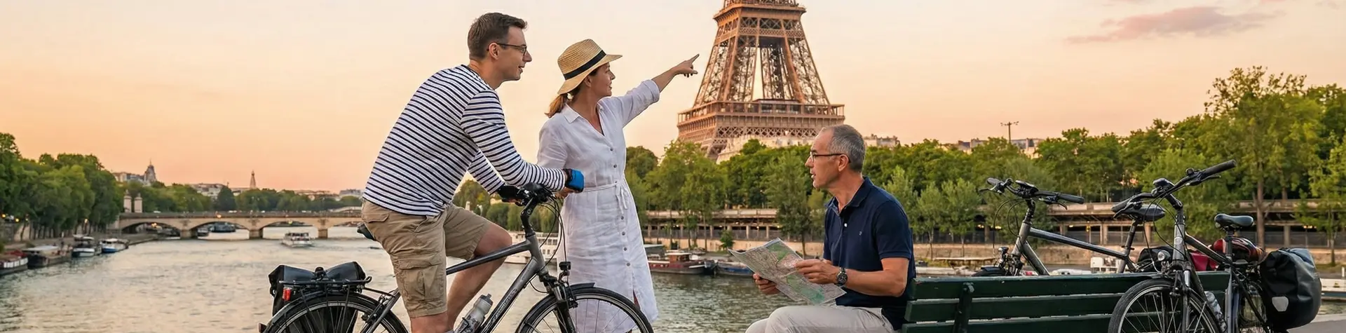
| Danube Cycle Path (Passau–Vienna) | Signs + printed route card. Phone/Garmin as backup only. |
| Danube Cycle Path (Vienna–Budapest) | Signs + GPX on phone (Komoot). Signs reliable but GPX useful in urban sections. |
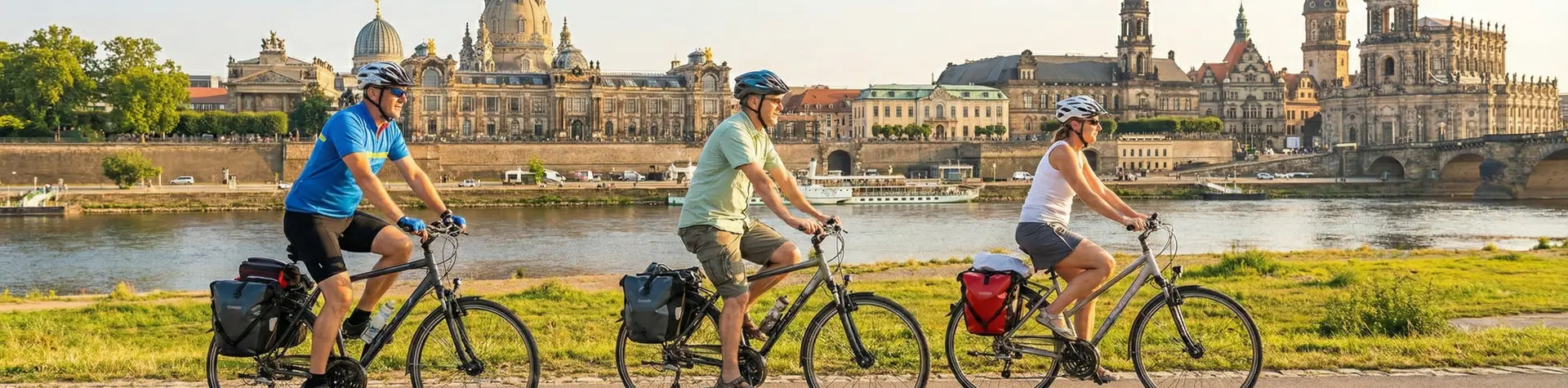
| Elbe Cycle Route (Germany) | Signs + printed route card. Phone useful at city entries/exits. |
| Elbe/Labe (Czech Republic) | Signs + Mapy.cz with offline Czech map. Phone backup recommended. |
| Prague–Vienna Greenway | GPX on phone (Komoot or Mapy.cz) + printed route card. Signs useful but not always sufficient. |
Practical tips
- Download offline maps in Komoot or Mapy.cz before you leave home — reliable WiFi in small guesthouses can be slow
- Load all GPX files at the same time so you have them ready without needing internet access
- Carry a power bank to top up your phone during the day
- A handlebar mount makes phone navigation much safer and more practical than pulling your phone out of your pocket at every junction
- Study the day's route card at breakfast — knowing the rough shape of the day reduces the number of navigation decisions you need to make
- If you miss a turn, stop, check the map, and retrace — do not try to "cut across" to rejoin the route; you'll get more lost
Recommended tours
All our self-guided tours include printed route notes and GPX files for every stage. The Danube and Elbe routes are the most beginner-friendly from a navigation perspective. Browse our tour options to find the right route for your experience level and confidence with navigation.